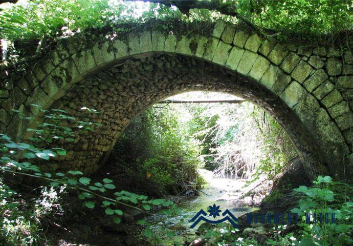
Location The Asrunts Bridge is situated within the territory of Karmir village in the Askeran region, along the old field road from Karashen village to Karmir village, approximately 3 kilometers northwest of Karmir village. Following the military aggression of September 2023, it is currently under the control of Azerbaijan. Historical overview There is limited historical information available about the monument. Based on the construction techniques and architectural style, the bridge is estimated to have been built in the 19th century. The absence of written references is likely due to this relatively recent construction date. Architectural-compositional examination The bridge consists of a single span and is constructed using rough limestone and lime mortar. The edge stones are polished, and the road is paved. The span has a height of approximately 4 meters and a length of 7 meters (Figs. 1, 2).
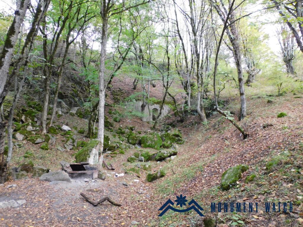
Location The mud wall-the bridge is located within the administrative borders of Khachen, in the Askeran region of the Republic of Artsakh, 4.5–5 kilometers west of the village, in the locality of “Novavor Spring” (Fig. 1). In 1992, a spring was constructed here in memory of Stepanyan Slavik, a freedom fighter from Khachen who was killed in the battles for Karaglukh (Fig. 2). A small khachkar brought from the surrounding area is enchased in the lower part of the structure. It depicts a woven ornament in the cornice and two bipartite crosses in the center. On this khachkar, which is made in the style of the 12th-13th centuries, some traces of an illegible inscription can still be seen (Fig. 3).
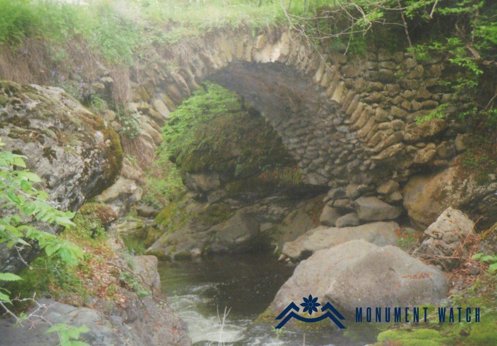
Location The Igakuts Bridge is located on the Igakn River, 2.2 kilometres northwest of Tumi village in Hadrut region (Fig. 1). Historical overview There isn’t any historical information about the bridge, and there is no inscription on the monument. As a consequence, the bridge’s exact date of construction is uncertain and unknown (Fig. 2). Architectural-compositional examination The bridge is single-span in composition. It is made of rough and unpolished stones as well as lime mortar. Natural boulders support the edge sections (Fig. 3). The span’s length is 4.43 meters, its width is 2.56 meters, and its height above the water level is 4.55 meters (fig. 4, Karapetyan 2009, 58).
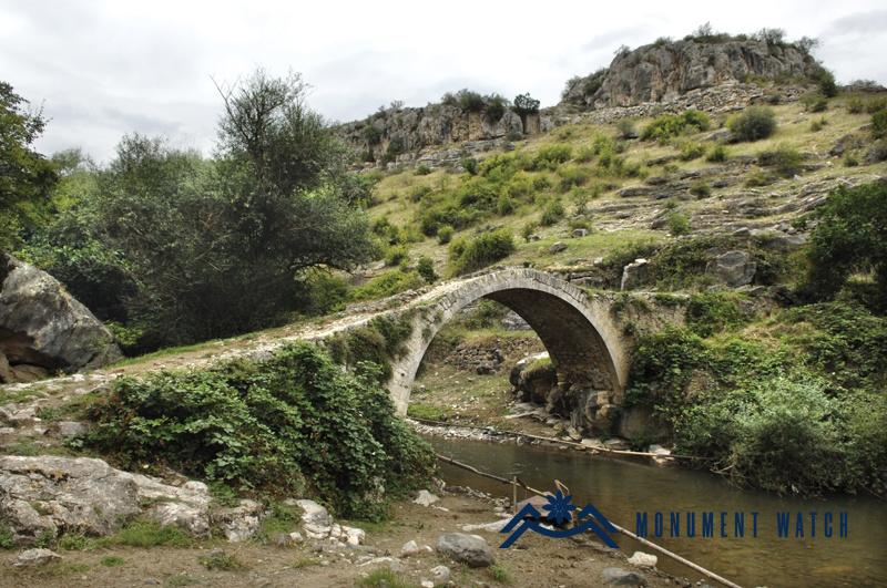
Location The monument is located on the Dzar River, one kilometer west of the village of Shosh in the Askerani region of the Republic of Artsakh (Figs. 1, 2). Following the 44-day Artsakh war, it was occupied by Azerbaijan.


