Handaberd
Location
Handaberd fortress is located 1 km east of Knaravan village of Nor Shahumyan region (Karvachar region) of the Artsakh Republic, on the right bank of the Lev River. The fortress is about 280 m high from the bank of the river, it is located 1665 m above the sea level.
Historical overview
According to Movses Daskhurantsi (Kaghankatvatsi), the fortress was built by Atrnerseh, the son of Prince Aranshahik Sahl Smbatyan, in the second quarter of the 9th century (Kaghankatvatsi 1983, 340). The fortress that probably existed earlier was rebuilt and expanded by Prince Atrnerseh. According to a khachkar inscription preserved in Dadivank, in 1142-1182 the castle belonged to Hasan Vakhtangyan – the prince of Verin Khachen (CAI 1982, 198). The fortress is referred to as Handaberd by Kirakos Gandzaketsi (Gandzaketsi 1961, 322). The castle has belonged to the Dopian princely house since the 13th century.
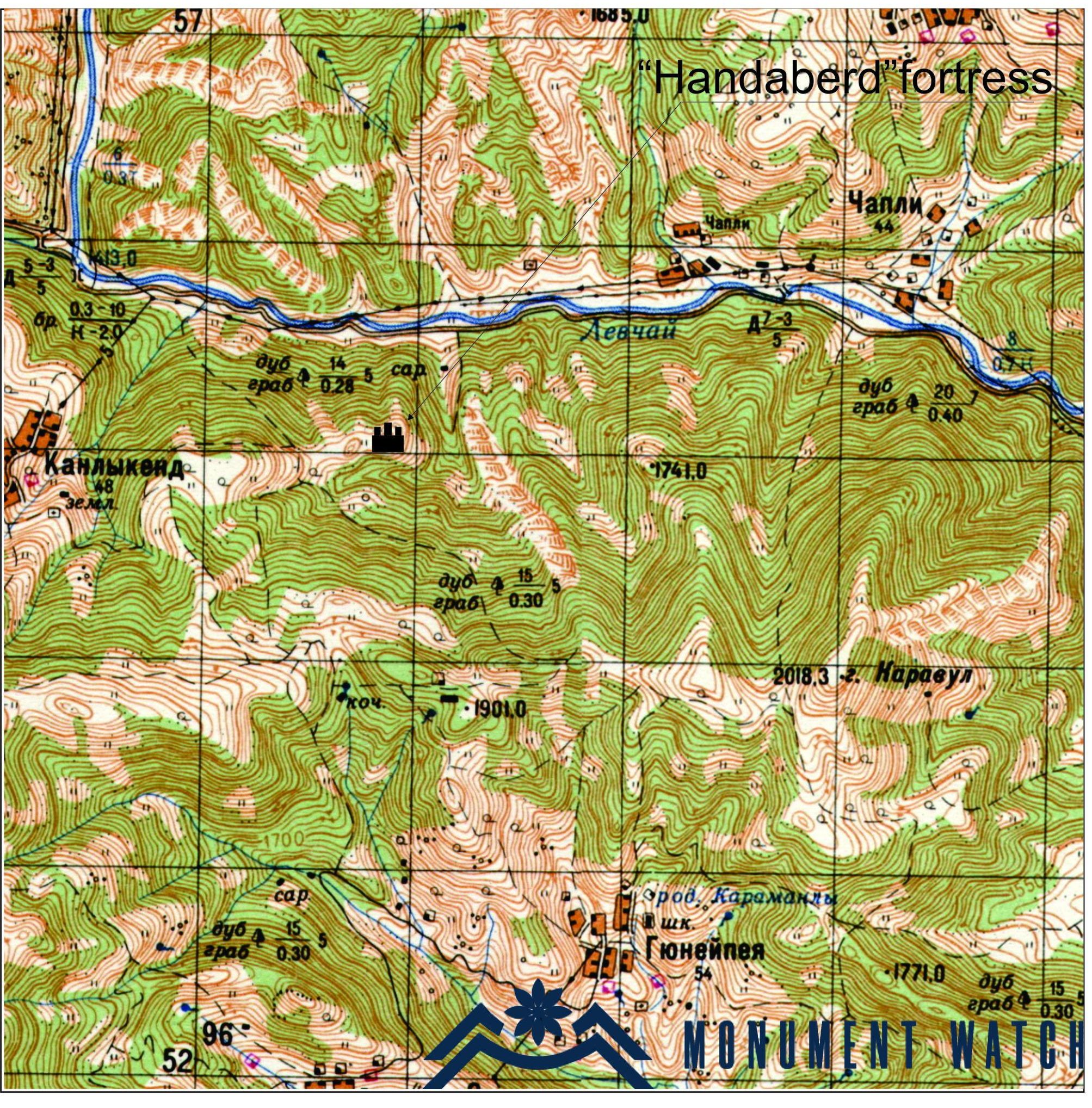
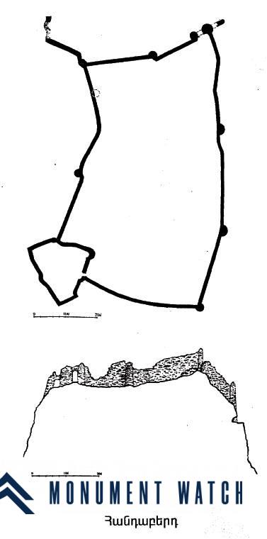
Fig. 1 The fortress plan, from the book “Armenian cultural monuments in the region of Karabakh” by S. Karapetyan, page 21.
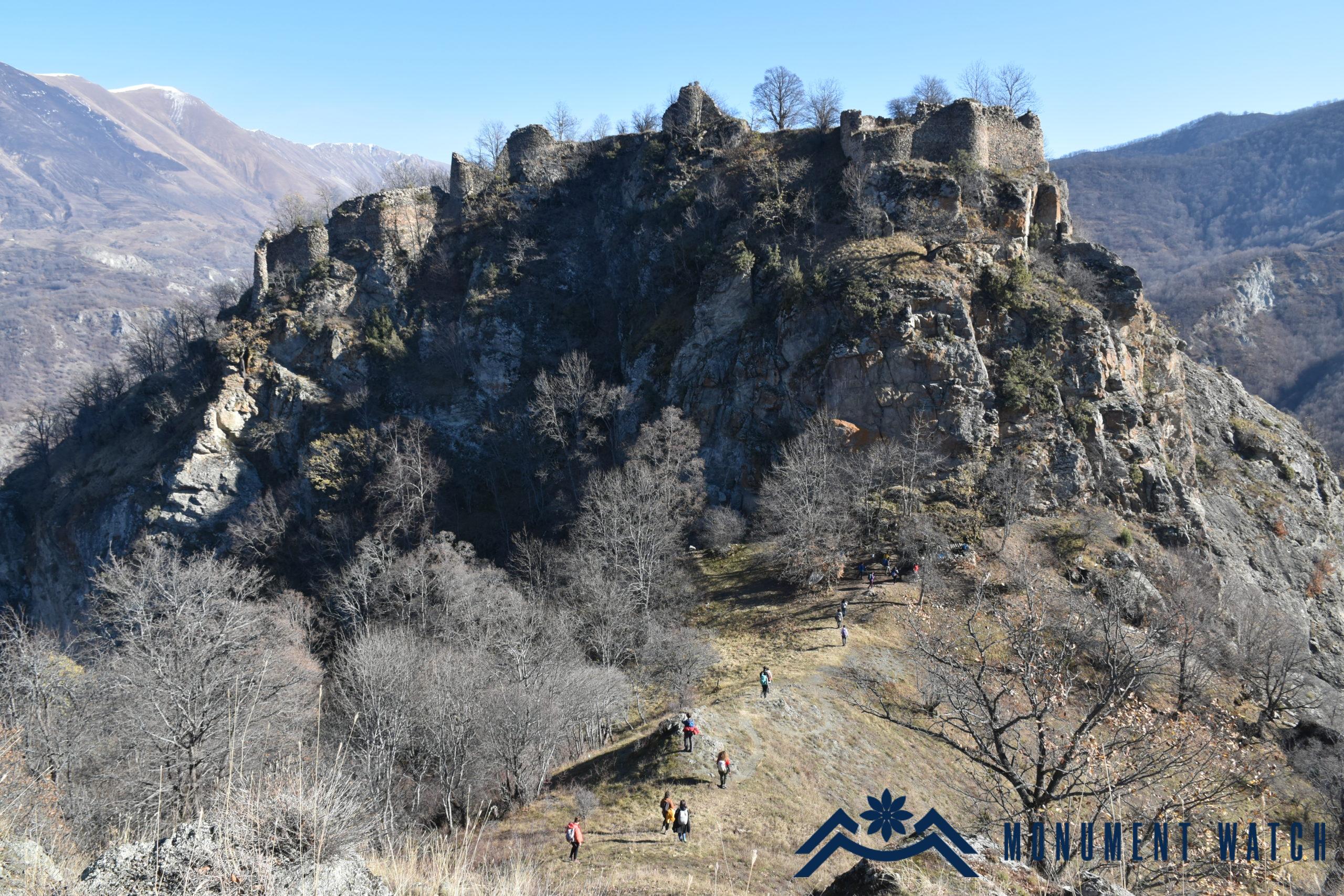
Fig. 2 The general view of the fortress, photo by S. Danielyan.
Architectural-compositional description
The fortress walls are adjusted to the terrain and have an irregular rectangular shape in the plan (Figs. 1, 2). On the eastern side, a small citadel (19x16.5 m) stands out with its walls. The walls are reinforced with semicircular towers at vertices and side sections of the rectangle. The present maximum height of the walls is up to 8 m, the average thickness of the walls is 1.60 m. The whole complex is lined with local raw stones and lime mortar (Figs. 3, 4).

Fig. 3 Fortress ramparts, photo by S. Danielyan.
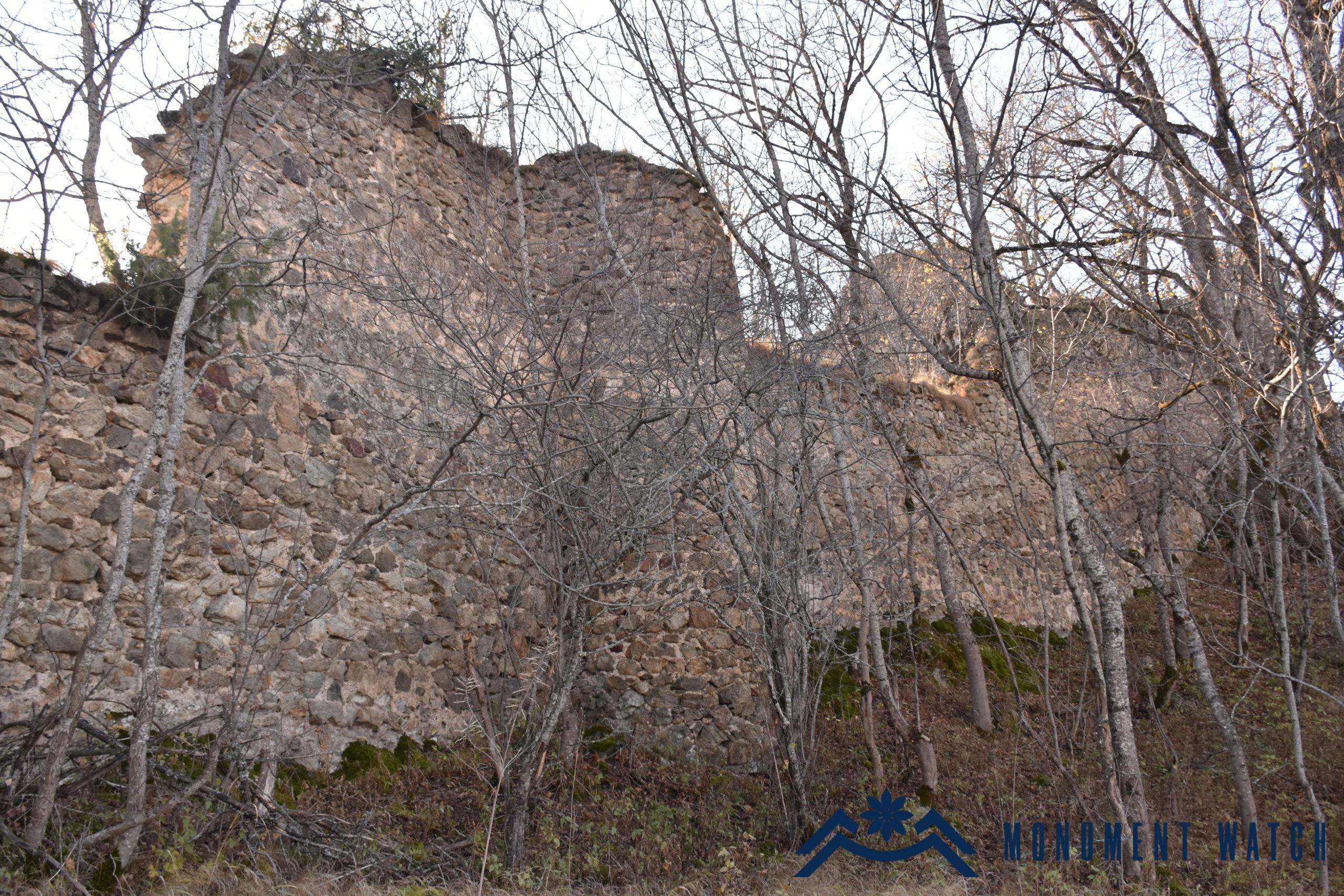
Fig. 4 Fortress ramparts, photo by S. Danielyan.
Two stages of construction are observed in the line of the ramparts: the lower parts are lined with more regular rough stones, which is typical of the Bagratuni defense structures of the 9th-10th centuries, and the upper parts are lined with smaller and irregular stones with thick plaster on the outside, which is typical of the 12th-13th centuries. In the area of the fortress there are 6 rock-cut wells, the ruins of a structure with a rectangular plan. The fortress has a “false gate” on the southern side (Fig. 5).
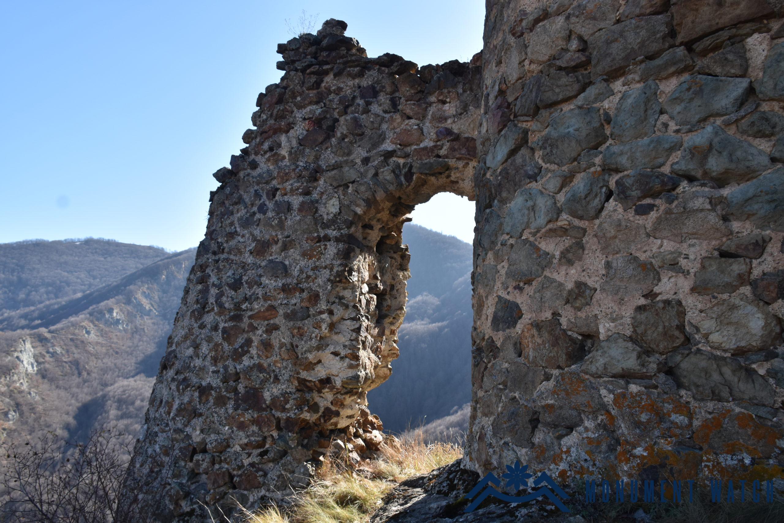
Fig. 5 Gates of Handaberd, photo by S. Danielyan.
The only path leading to the fortress stretches under the south-western wall and approaches the main gate of the fortress from the northern side with narrow rock-cut alleys. The monastery of Handaberd had observation and guard posts around it. The distance between one of them and the fortress is 2.4 km in a straight line. The guard post is rectangular in plan, built of rough stones and lime mortar (Karapetyan 2001, 24-28).
The condition before and after the war
Due to its inaccessible location, the fortress has not been subjected to deliberate destruction or artificial changes, nor was it either damaged during the Artsakh wars.
Bibliography
- CAI – Corpus of Armenian Inscriptions, Release 5, Artsakh, Yerevan, 1982․
- Karapetyan 1999 – Karapetyan S., Armenian cultural monuments in the region of Karabakh, Yerevan․
- Gandzaketsi 1961 – Kirakos Gandzaketsi, History of Armenia, Yerevan․
- Kaghankatuatsi 1983 – Kaghankatuatsi M․, The History of the Country of Albania, Yerevan․
Handaberd
Artsakh