The Fortress of Vnesa
Location
The Vnesa fortress is located 2 kilometers from the highway in Kuratagh village, Hadrut region (Fig. 1). The fortress is currently occupied by Azerbaijan.
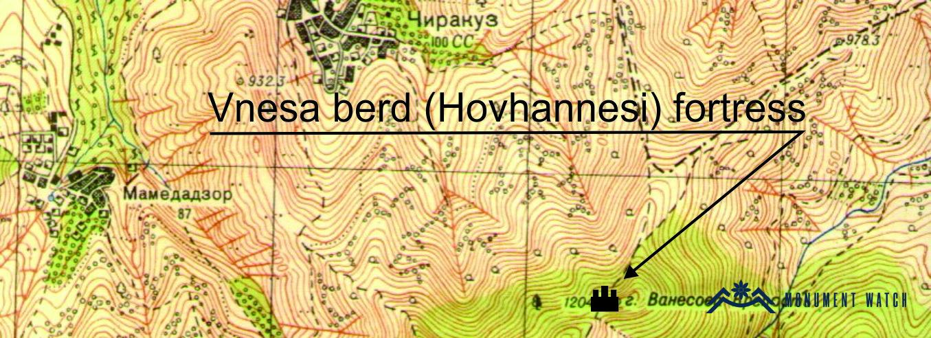
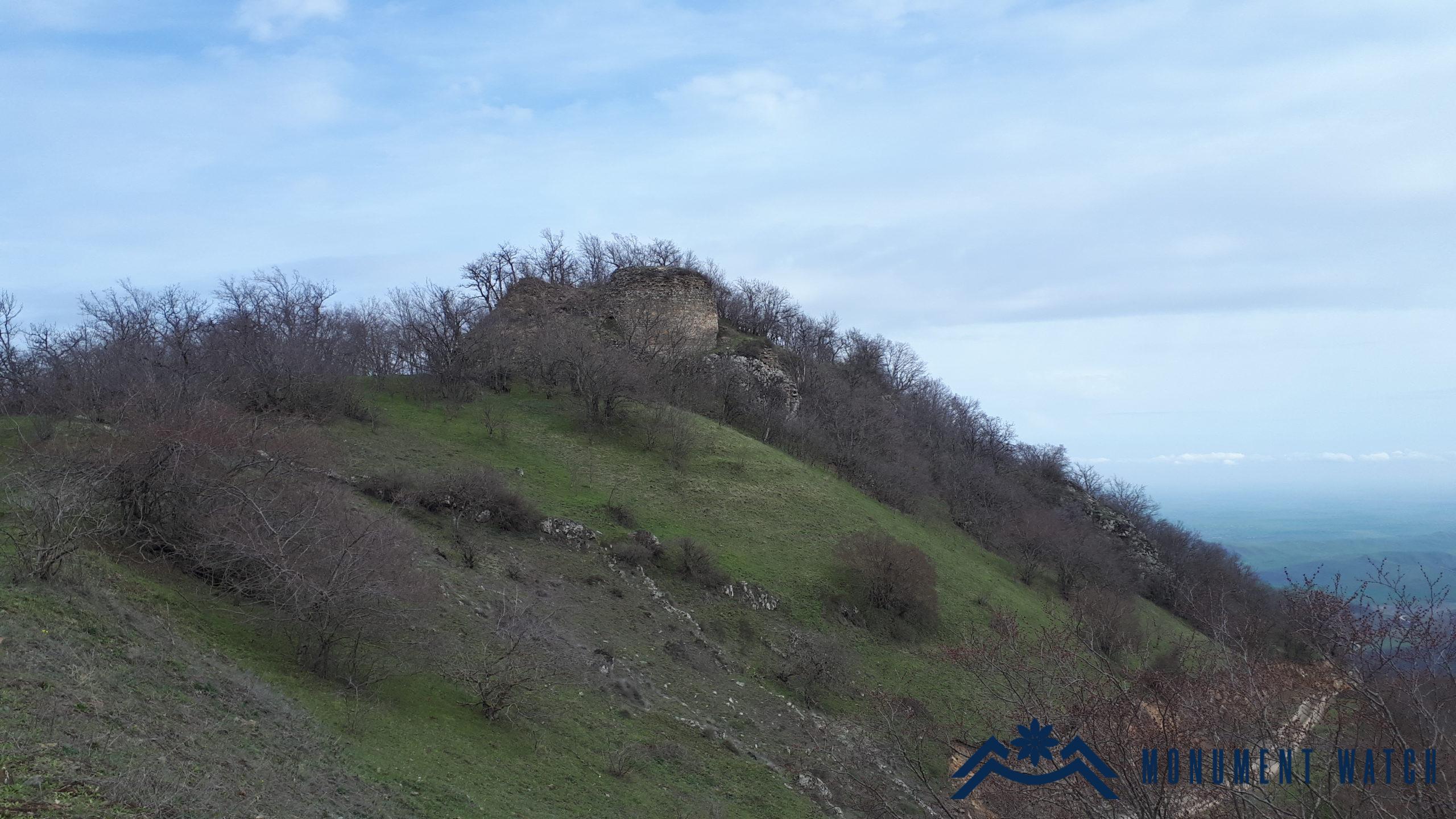
Fig. 1 The fortress from the south-west, 2020, photo by G. Budaghyan.
Historical Overview
The monument was considered the leading and first-class fortress in the liberation struggle of the Dizaki people. Thanks to its geographical location, it was possible to provide signal communication with other fortresses, such as Dizapayt, Ktish, Ghlen Qari, and Brdahonj, and the guide of the fortress kept under control the actions taking place on the plateau north of Araks.
Architectural-Compositional Description.
The fortress is surrounded by valleys on the east, west, south sides and joins Mount Vnesa on the west side. The monument is 125 meters long, 45 meters wide, and its height is about 4–15 meters. The fortress is built in an east-west direction. The fortifications are placed around the circumference of the mountain, giving it an irregular rectangular shape from the layout (Fig. 2). The semicircular foundations of the towers have been preserved in some parts (Fig. 3). In the western part were located the two tallest towers of the fortress, and between them the gate was placed. Currently, one of the towers, which is 10–12 meters high, is almost completely preserved (Fig. 4). The space inside the wall is flat and occupies an immense area. The past existence of other buildings here is evidenced by their surviving foundations and ruins (Fig. 5, 6). The large towers, like the large polygonal structure of the walls, provide the basis for dating the original structure to the 9th–10th centuries.
Describing Vnesa Fortress, Makar Barkhudaryan writes, "The floor of the fortress is full of ancient dwellings, domes, and stones. At the top of the building, a mansion is built, which presumably functioned as a citadel. There is a pool inside the mansion that holds soiled water to this day. It is traditionally said that the water here was brought from springs through pipes on the southern side of the fortress. Those springs were probably located on a road” (Barkhutasreants 1895, 55).
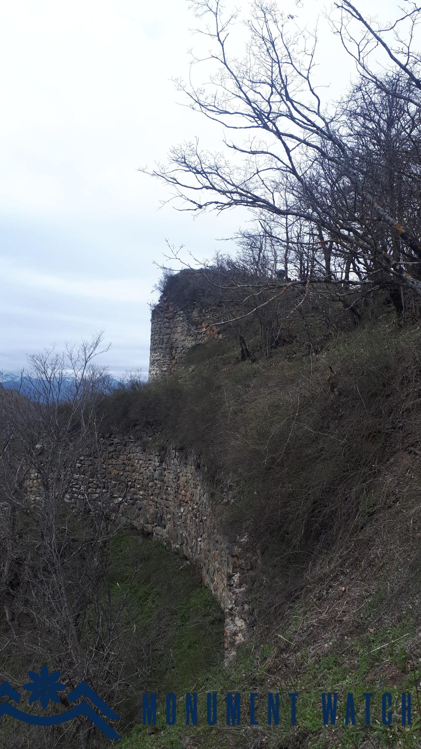
Fig. 2 The southern wall of the fortress, 2020, photo by G. Budaghyan.

Fig. 6 The ruins of the citadel buildings, 2019, photo by G. Budaghyan.
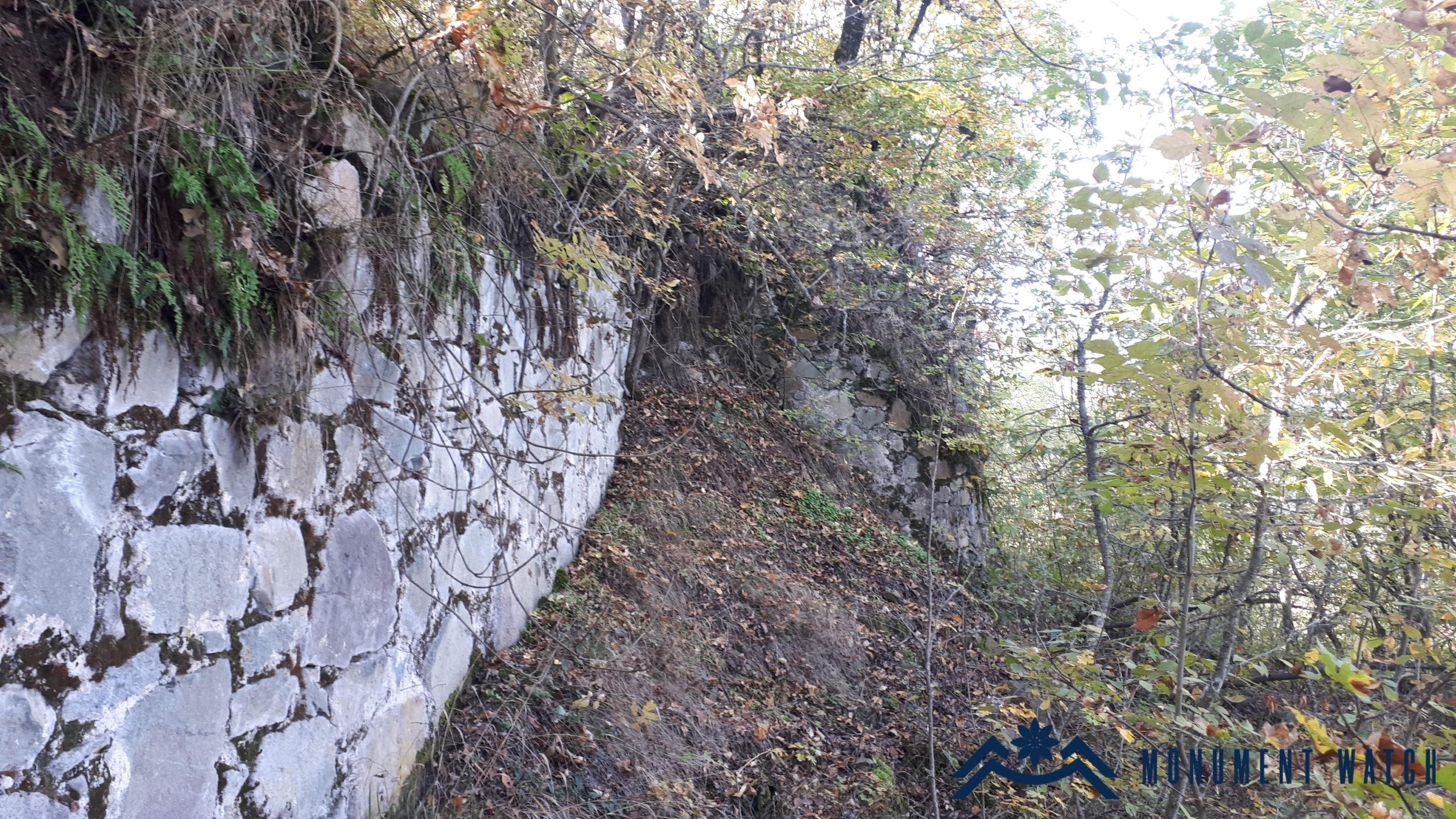
Fig. 3 The northern wall of the fortress, 2019, photo by G. Budaghyan.
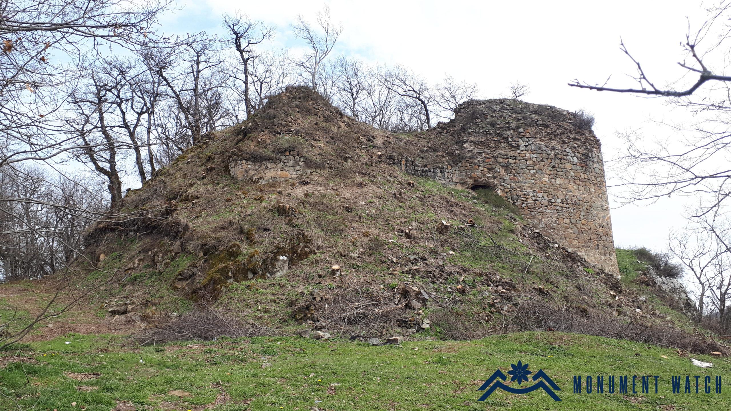
Fig. 4 The western towers of the fortress, 2020, photo by G. Budaghyan.
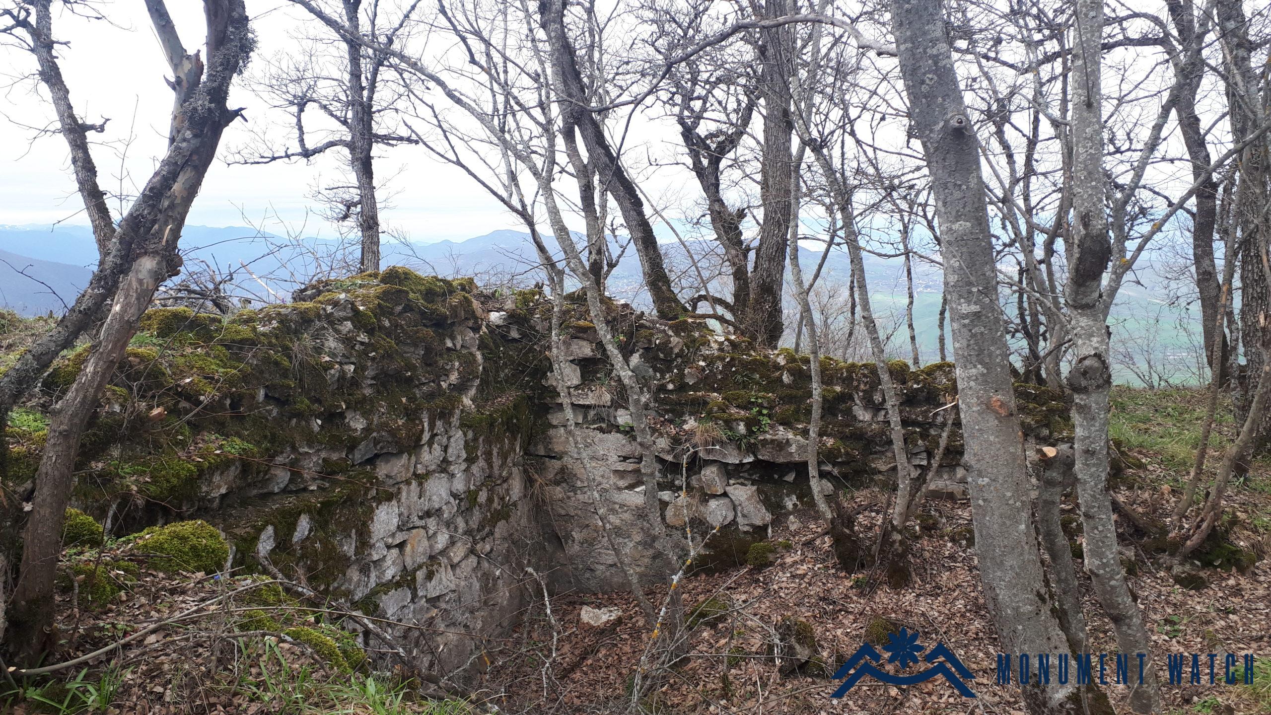
Fig. 5 The ruins of the citadel buildings, 2020, photo by G. Budaghyan.
The situation before, during, and after the war:
The Vnesa fortress was not damaged during the warfare of the Second Artsakh War. There is no clear information about the post-war condition of the monument.
Bibliography
- Barkhutareants 1895- Barkhutareants M., Artsakh, Baku.
- Mkrtchyan Sh., The historical and architectural monuments of Nagorno-Kharabakh, Yerevan, 1895.
The Fortress of Vnesa
Artsakh