Historical Overview
Written references to the "Karmir Avetaran" settlement site are scarce. Thus, the newspaper Nor Dar in 1890 reports: "At a distance of about one verst to the west of the village of Vararagn, in a precipitous ravine, lies the village called Paylul, which has about fifteen households. Within Paylul is the pilgrimage site called Avetaran, to which pilgrims come in great numbers from the surrounding villages and even from the city of Shushi" (Nor Dar 1890, 3).
Following this report, S. Karapetyan also places the pilgrimage site at the village of Paylul, concluding that "Karmir Avetaran" is a chapel and place of pilgrimage near Paylul (Karapetyan 2022, 378).
Architectural–Compositional Examination
In 2012, the Tourism Department of the Nagorno-Karabakh Republic delineated a protection zone for the settlement site.
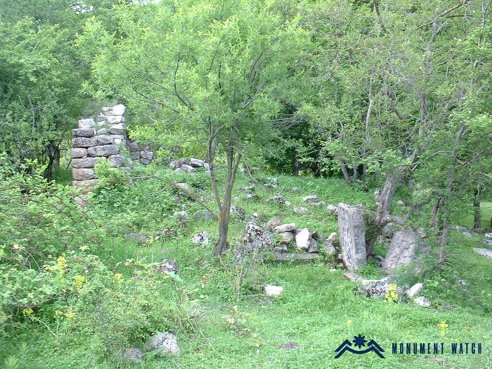
The remains preserved from the settlement include the ruined church with its surrounding cemetery, as well as a section of the northern cemetery. The monument covers an area of 1.6 hectares (as per the certificate of the Ministry of Education, Science, Culture, and Sports of the Republic of Artsakh).
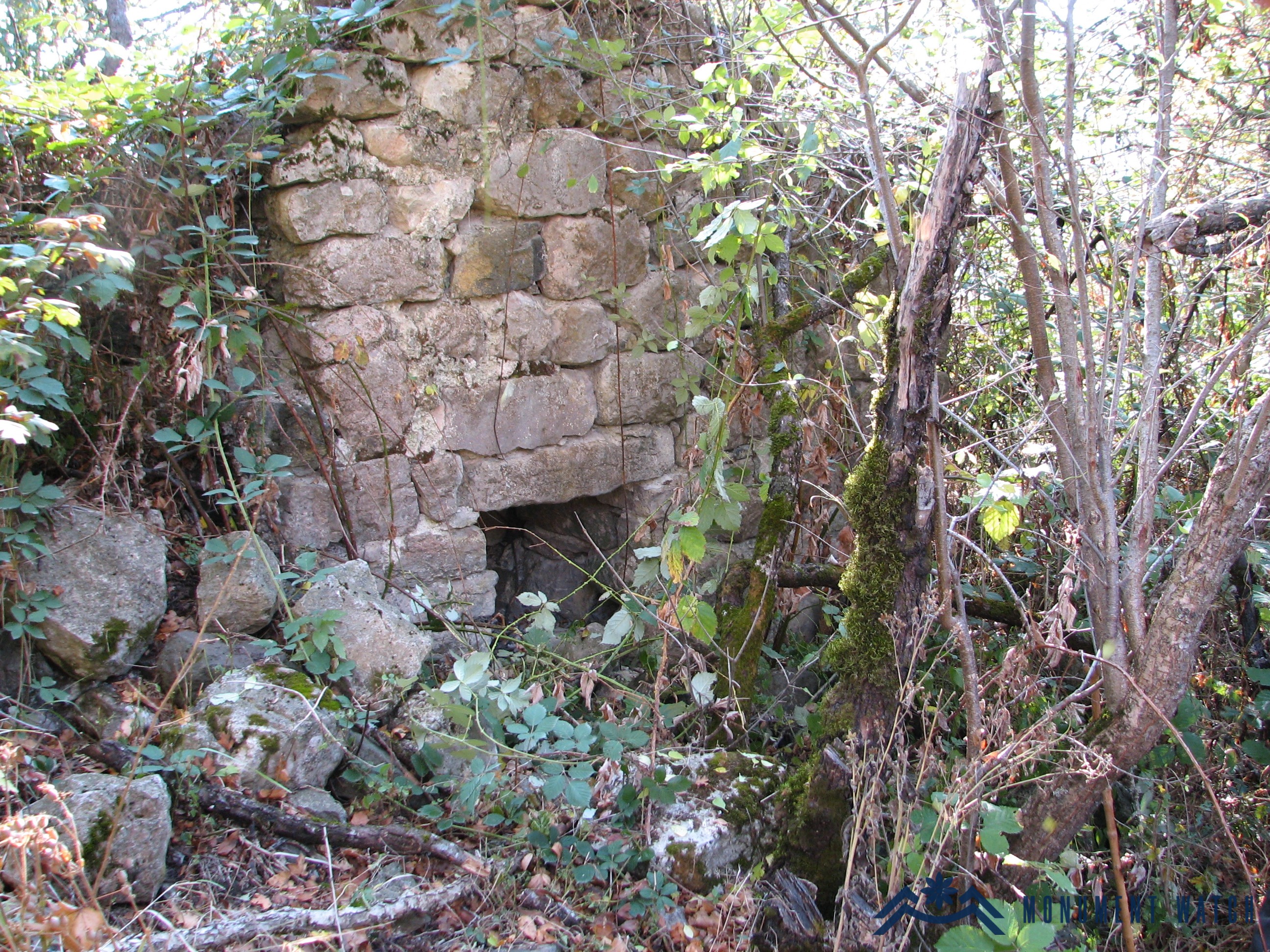
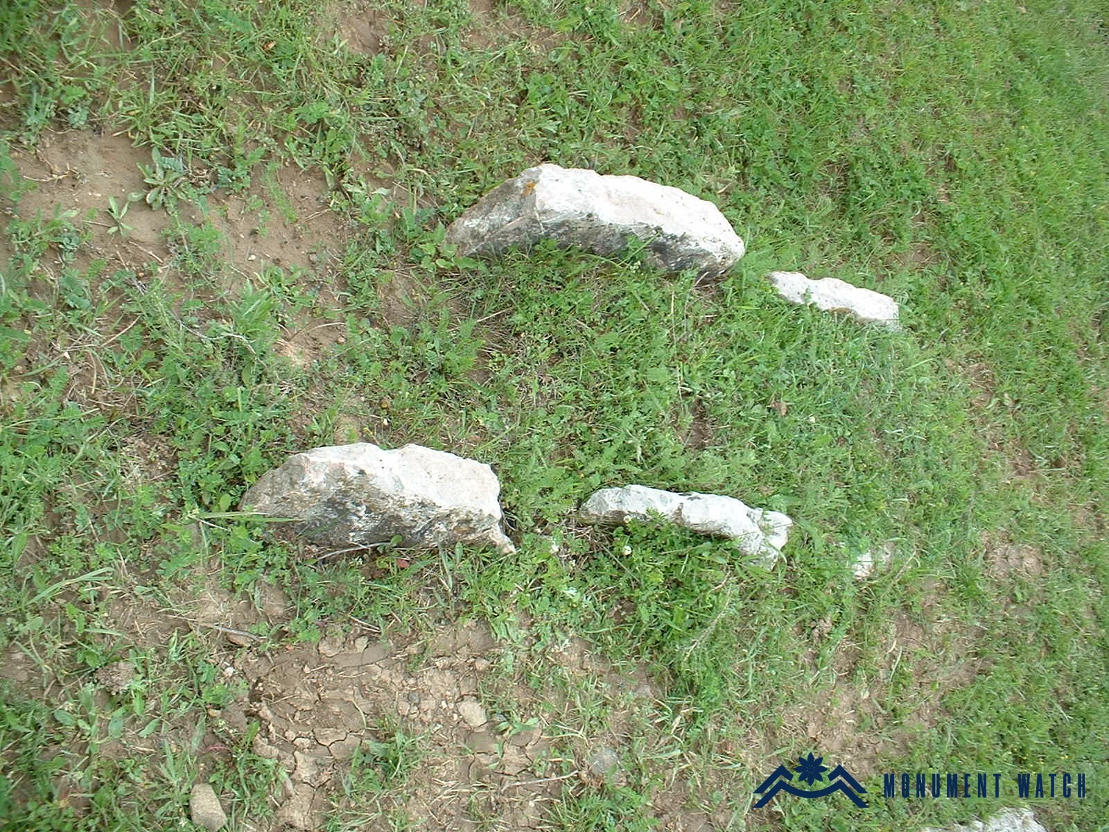
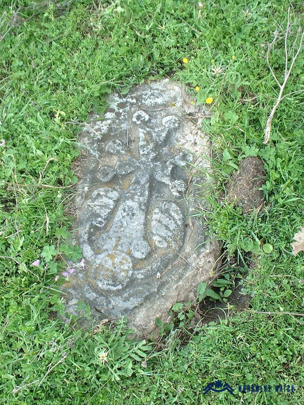
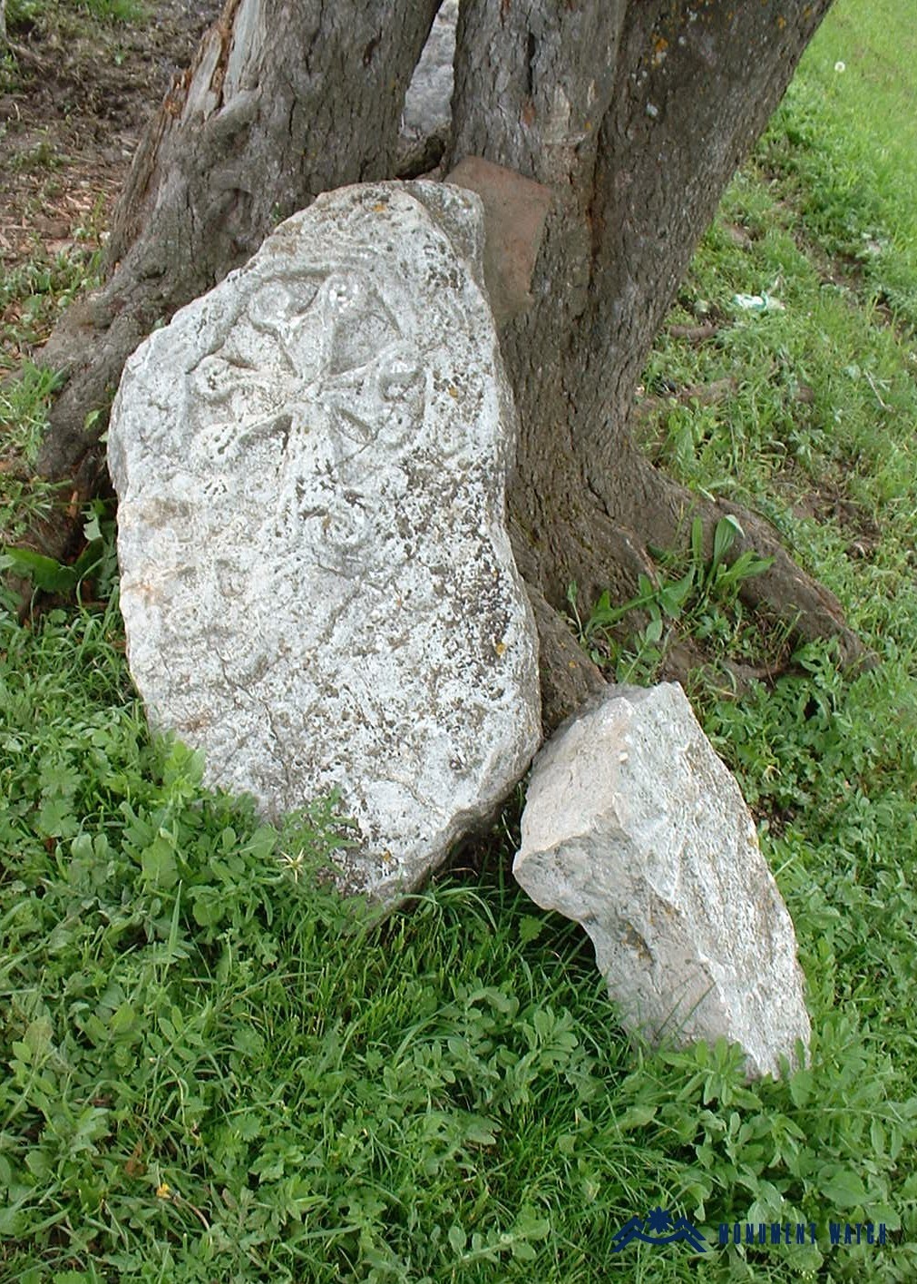
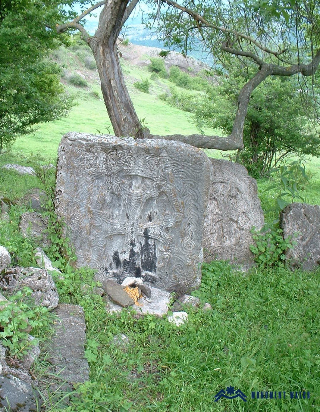
Most of the central area of the settlement has been ploughed. The church is a small, single-nave structure built of roughly dressed stones set in lime mortar. It lies buried beneath its collapse; only the western façade with the entrance is visible. On the southern side, there is a sanctified spot composed of five khachkars dating to the 12th–13th centuries. Additional khachkars, khachkar fragments, and tombstones are preserved on the flat ground east of the church. A second, early Christian cemetery is situated about 100 meters to the northeast of the principal monument group. It is discernible in the form of open cist graves (certificate of the Ministry of Education, Science, Culture and Sports of the Republic of Artsakh).
In local folklore, the area is known as "Karmir Kerts" or "Khachin."