Historical overview
According to Makar Barkhudaryants, the village of Kavahan "is founded in a ravine, where the view is concealed and the surrounding mountains press against the horizon… To the north of the village, there is an old cemetery and a chapel built of stone and lime, in which there are cross-steles, of which only the upper part has survived: 'In the year 697 (1548) I, Shahavor, set up this cross for my father Pakha and my mother Shahmar…'" (Barkhutareants 1895, 110).
Sh. Mkrtchyan holds that the village was formerly called Kavahan, "because clay was quarried here and the inhabitants engaged in the export of clay tableware. Later, it was renamed Ghavakhan. The study of the numerous monuments of the village and its environs has led to the conclusion that Kavahan–Ghavakhan has a centuries-long history. Vivid confirmation of this is the cemeteries of Shinatēkh and Shinatakh, the ruins of various structures, and the khachkars" (Mkrtchyan 1989, 124).
According to V. Balayan, several historical-cultural monuments have survived in Old Kavahan: a necropolis of the 2nd–1st millennia BCE, a 13th-century chapel, 15th–16th-century khachkars, 17th–19th-century cemeteries, and the Church of Surb Astvatsatsin (Holy Mother of God) (https://monumentwatch.org/ru/monument/%d1%86%d0%b5%d1%80%d0%ba%d0%be%d0%b2%d1%8c-%d1%81%d1%83%d1%80%d0%b1-%d0%b0%d1%81%d1%82%d0%b2%d0%b0%d1%86%d0%b0%d1%86%d0%b8%d0%bd-%d1%81%d0%b5%d0%bb%d0%b0-%d0%ba%d0%b0%d0%b2%d0%b0%d1%85%d0%b0%d0%bd/).
Architectural-compositional examination
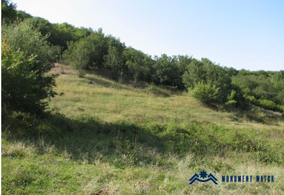
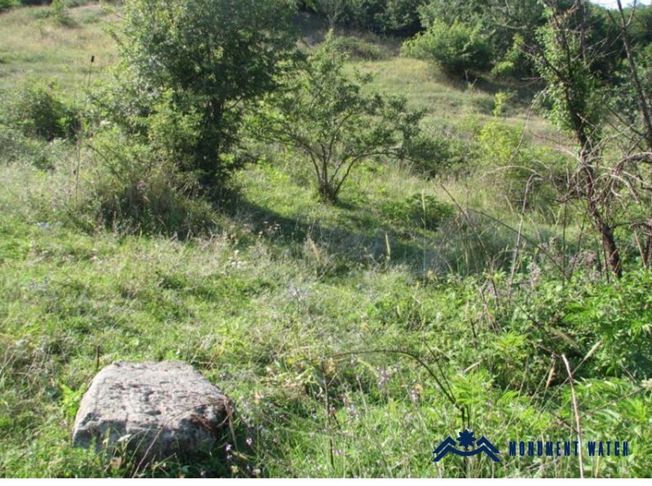
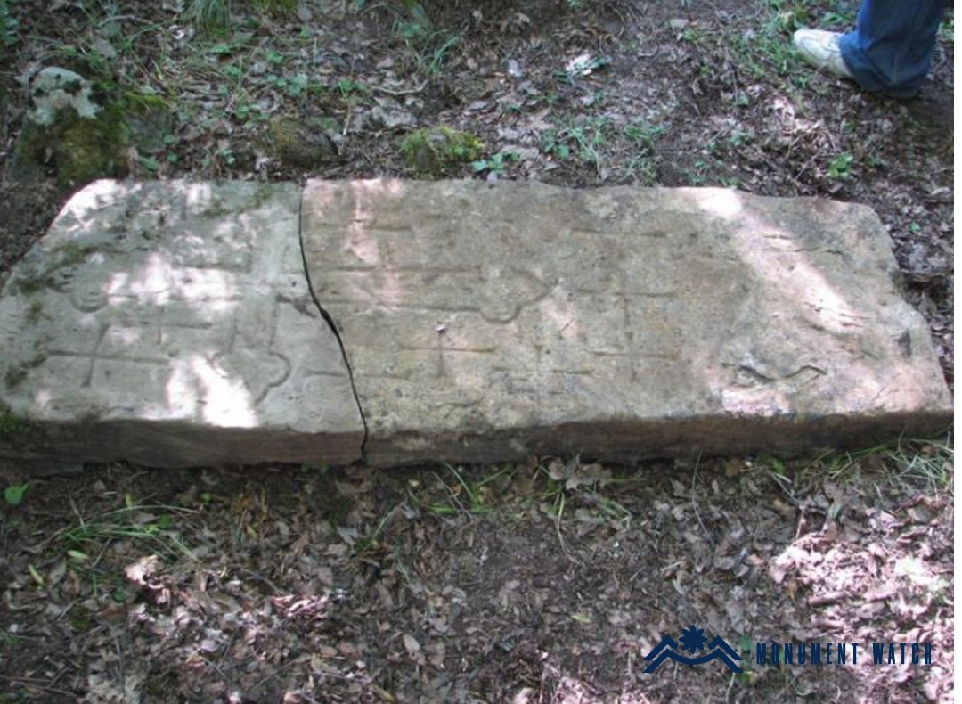
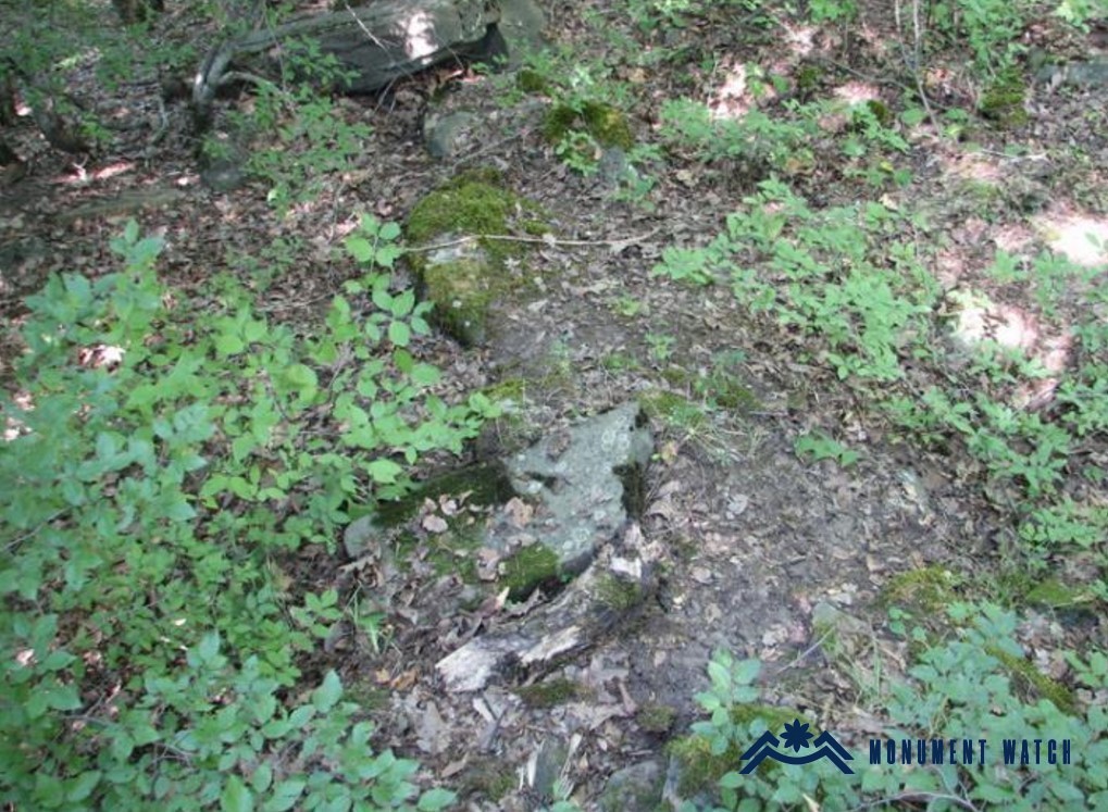
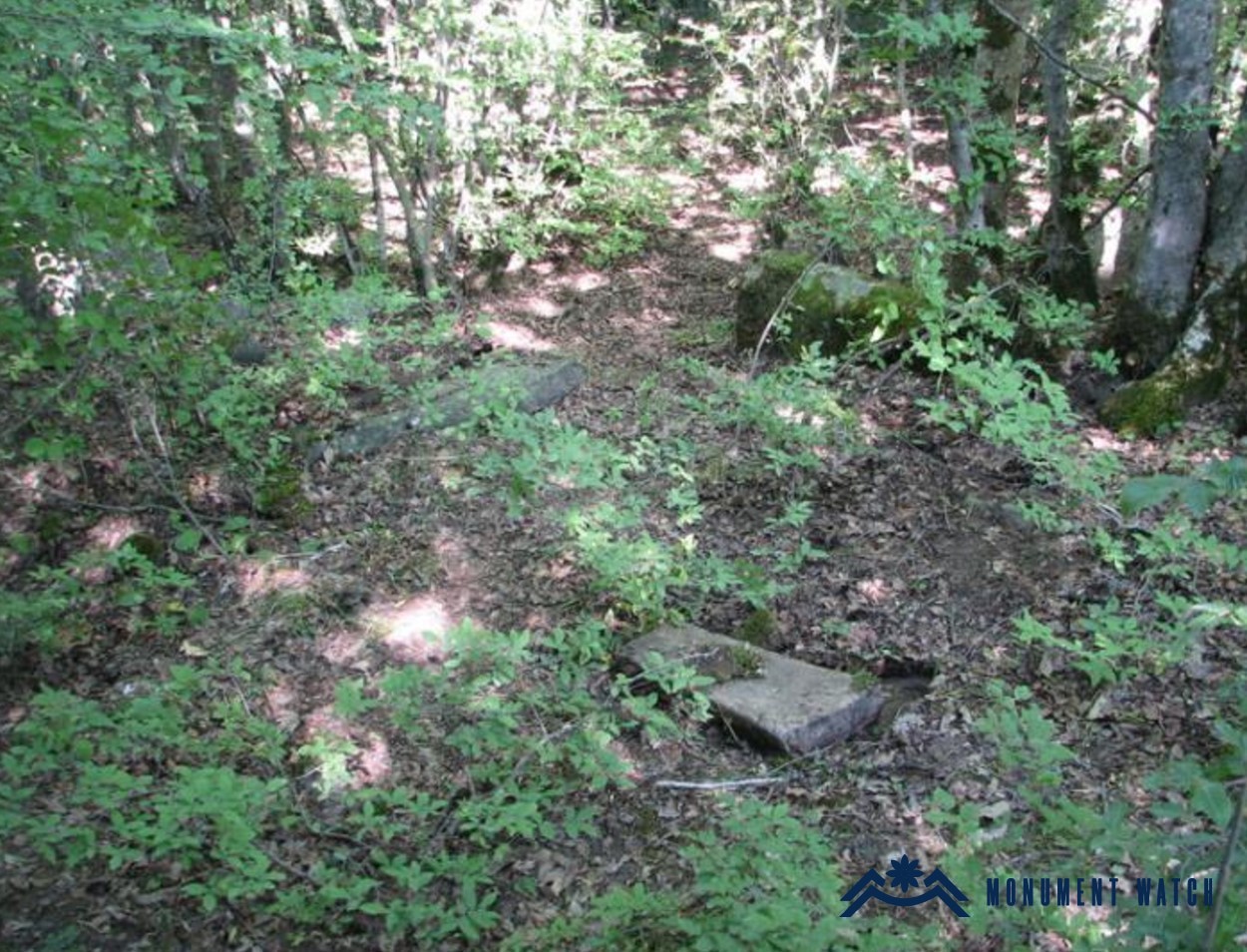
The register of immovable historical and cultural monuments of Kavahan lists 21 monuments, one of which is the "Shinatēgh" rural settlement (15th–16th centuries). "Shinatēgh" is a fairly extensive site, with visible building traces spread over more than 3 hectares (Fig. 2). On the upper part of the former settlement a cemetery is discernible, composed mainly of simple, flat, undressed slab-tombstones (Fig. 3). Within the cemetery several fragments of khachkars have been preserved, along with one large khachkar lying face-up on the ground; these can be dated to the 15th–16th centuries (Figs. 4–5). A small segment of masonry is also visible in the cemetery, which may be attributed—presumably—to the ruins of a church (based on the certificate compiled by the Ministry of Education, Science, Culture, and Sports of Artsakh).