The Bridge of Tahis
Location
It is located in the middle of Mets Tagher and Togh villages of Hadrut region, on the Ishkhanaget River (Figs․ 1, 2).
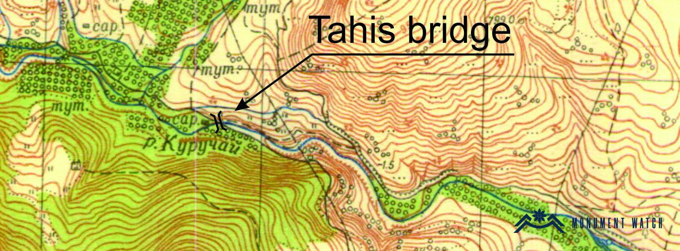
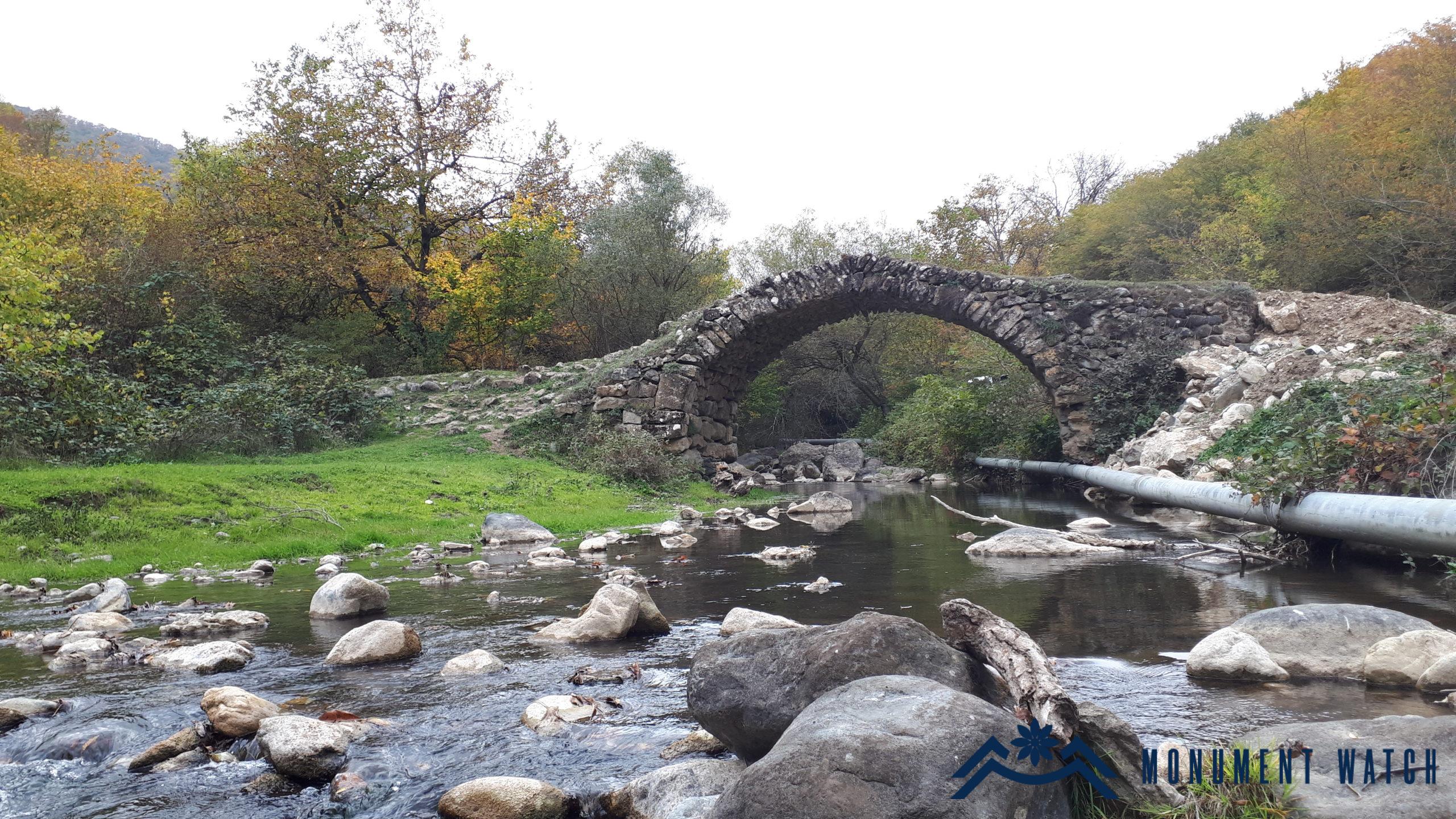
Fig. 1 The general view of the bridge, 2019, photo by G․ Budaghyan.
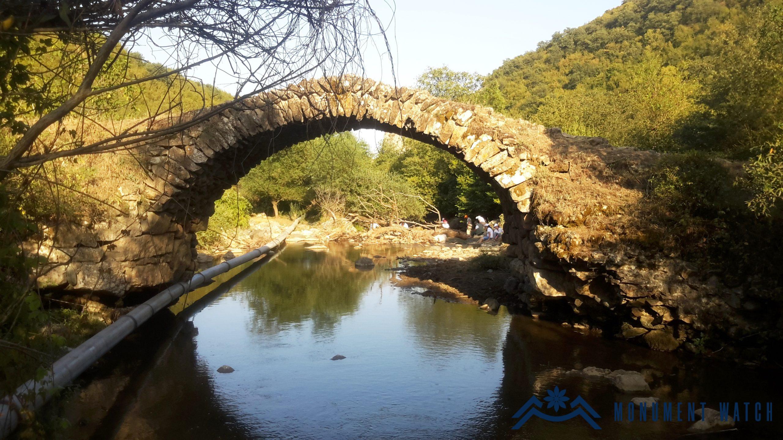
Fig. 2 The downstream-looking facade of the bridge, 2014, photo by G․ Budaghyan.
Historical overview
The bridge was built in the old rural area of Tahis. The latter is mentioned in the building inscription of Gtchavank: “Yekghetsadzor with its borders: one loots (ploughland) from Tahis, one loots (ploughland) from Togh, one from Gaks, the other from Mokhenis” (Hakobyan 2009, 92). The bridge connected the districts of the village spread on both banks of the Ishkhanaget, as well as the road leading from Mets Tagher to Togh. The remains of an old mill and various buildings have been preserved in the area adjacent to the bridge to this day (Fig. 3, 4, 5).
Fig. 3 Tahis rural area and the bridge, photo by the Database of the Department of Preservation of Monuments of the Ministry of Education, Science, Culture and Sports of the Artsakh Republic.
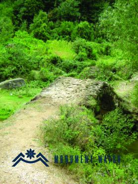
Fig. 3 Tahis rural area and the bridge, photo by the Database of the Department of Preservation of Monuments of the Ministry of Education, Science, Culture and Sports of the Artsakh Republic.
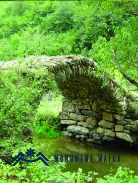
Fig. 3 Tahis bridge, photo by the Database of the Department of Preservation of Monuments of the Ministry of Education, Science, Culture and Sports of the Artsakh Republic.
Architectural-compositional examination
It is a single-span bridge with an accentuated horseshoe-shaped arch – a contrivance that gave more strength to the bridge. It is built of raw stone and lime mortar. Polished stones are used at the ends of the span.
The length of the span is 6.95 meters, the width of the passage is 3.30 meters, the height above the water level is 4.80 meters (Fig. 6). It lacks any exact date of construction, but comparing the structural-compositional combinations with other similar monuments, it may be assumed that it is a structure of the 15-16th centuries.
It was designed for pedestrians and wheelchairs.
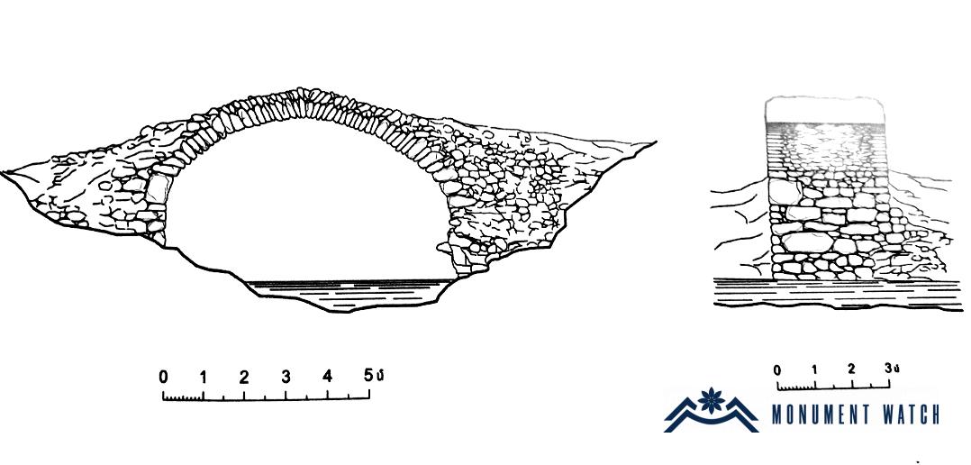
Fig. 6 The measurement of the bridge, measurement by S․ Karapetyan, Karapetyan S․, The Bridges of Artsakh, Yerevan, 2009, p. 56.
The condition before, during and after the war
The bridge was in good condition and was used by people. It was not damaged during the 44-day war, but in the post-war period, taking into account the large-scale road construction activities carried out by Azerbaijan in the Mets Tagher area, which is accompanied by the complete destruction of the Armenian settlement, damage to the monument is not excluded.
Bibliography
- Karapetyan S․, The Bridges of Artsakh, Yerevan, 2009.
- Hakobyan 2009 – Hakobyan A., Historical-geographical and epigraphic studies (Artsakh and Utik), Vienna-Yerevan.
- Mkrtchyan Sh., Historical and architectural monuments of Nagorno Karabakh, Yerevan, 1985.
Гадрут
Арцах