The Surb Astvatsatsin Church of Murishen

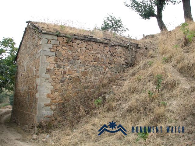
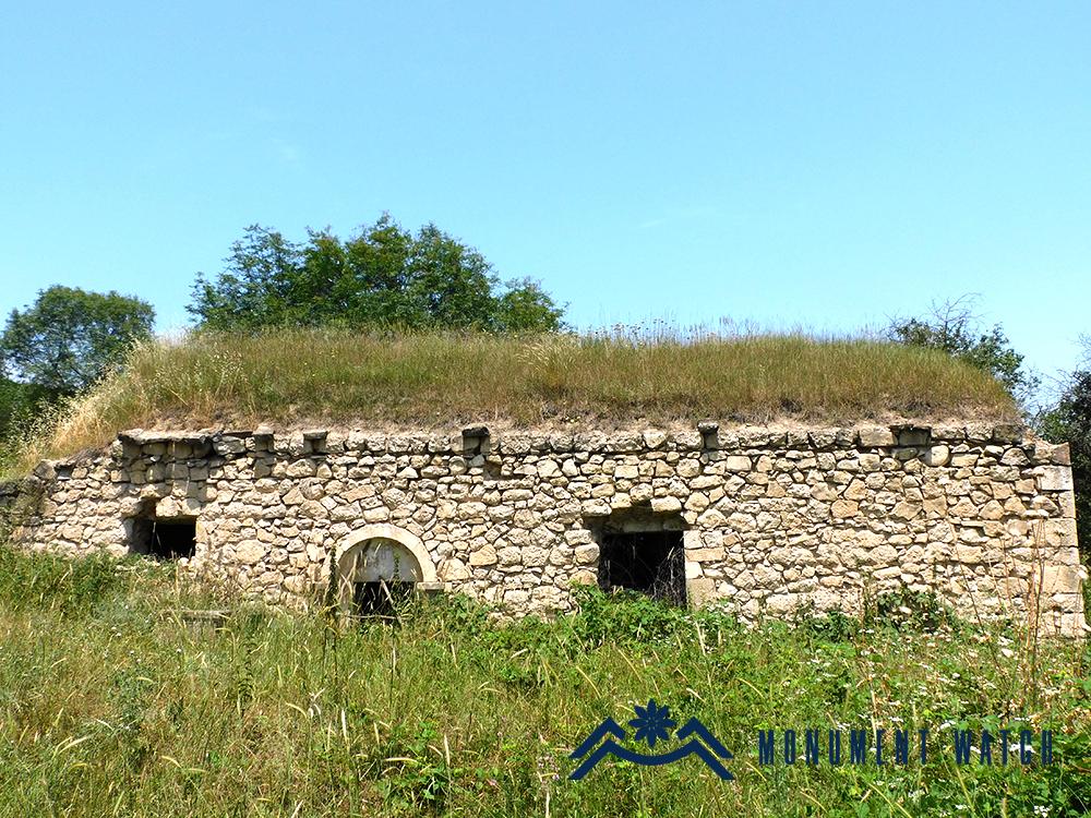
Location The Surb Astvatsatsin Church is situated in Myurishen village of the Martuni region (Fig. 1). Located in the southeastern part of the Republic of Artsakh, the village is approximately 34 km away from the regional center of Martuni. Murishen has been under Azerbaijani occupation since September 2023. Historical overview M. Barkhudaryants, in his description of the village, highlights that “Murishen residents are indigenous, and the land holds historical significance. The village church, Surb Astvatsatsin, is a stone-built, vaulted structure. The priest is originally from Avtur (Barkhutareants 1895, 127). An inscription preserved on the tabernacle of the church reveals that it was constructed in 1869. Architectural-compositional examination The Surb Astvatsatsin Church is situated at the heart of the village. It spans 12 meters in length, 6.34 meters in width, and stands at a height of 5.5 meters. The church features a single-nave vaulted hall with a rectangular layout. Towards the eastern side, it concludes with a semicircular tabernacle and a pair of sacristies (Figs. 2 and 3). The vault is supported by arrow-shaped pilasters emerging from both the pillars and the tabernacle’s pillars. The stage has not been preserved. However, the northern wall still retains the baptismal font. Openings for storing church utensils are present on both the northern and southern walls of the Tabernacle and the hall. On the southern wall of the Tabernacle, there is a 12th-13th-century khachkar adorned with intricate relief (Fig. 4). The church is lit up by four small windows. Two of the windows are located on the southern facade, one on the western facade, and one on the eastern facade. During the Soviet era, the church roof was covered with a metal sheet and was used as a warehouse.